Central Butte


Cet article est une ébauche concernant une localité canadienne et la Saskatchewan.
Vous pouvez partager vos connaissances en l’améliorant (comment ?) selon les recommandations des projets correspondants.
| Central Butte | |||
| Administration | |||
|---|---|---|---|
| Pays |  Canada Canada | ||
| Province |  Saskatchewan Saskatchewan | ||
| Région | centre-sud de Saskatchewan | ||
| Statut municipal | Ville | ||
| Démographie | |||
| Population | 372 hab. (2016) | ||
| Densité | 166 hab./km2 | ||
| Géographie | |||
| Coordonnées | 50° 47′ 31″ nord, 106° 30′ 29″ ouest | ||
| Superficie | 224 ha = 2,24 km2 | ||
| Divers | |||
| Fuseau horaire | -6 | ||
| Indicatif | 306 | ||
| Code géographique | 4707054 | ||
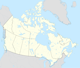
| Localisation | |||
| Géolocalisation sur la carte : Saskatchewan
Géolocalisation sur la carte : Canada
| |||
| Liens | |||
| Site web | www.centralbutte.ca | ||
modifier  | |||
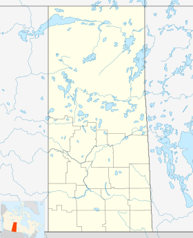

Central Butte est un village situé dans le centre-sud de la province canadienne de la Saskatchewan. En 2021, sa population atteint 416 habitants contre 372 en 2016.
Histoire

Cette section est vide, insuffisamment détaillée ou incomplète. Votre aide est la bienvenue ! Comment faire ?
Économie
Cette section est vide, insuffisamment détaillée ou incomplète. Votre aide est la bienvenue ! Comment faire ?
Géographie
Cette section est vide, insuffisamment détaillée ou incomplète. Votre aide est la bienvenue ! Comment faire ?
Démographie
Cette section est vide, insuffisamment détaillée ou incomplète. Votre aide est la bienvenue ! Comment faire ?
Notes et références
v · m | ||
|---|---|---|
| Cités |
|  |
| Villes |
| |
Subdivisions de :
| ||

 Portail de la Saskatchewan


