Garvald, Scottish Borders
Village in Scottish Borders, Scotland, UK
55°45′06″N 3°01′42″W / 55.75167°N 3.02833°W / 55.75167; -3.02833

class=notpageimage|
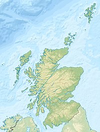
Map showing the location of Garvald within Scotland.Garvald (Scots: Garvit)[1] is a hamlet on the B7007, near Dewar, by the Dewar Burn, in the Moorfoot Hills, in the Scottish Borders area of Scotland, in the former Peeblesshire.
Places nearby include Borthwick Hall, Heriot, the Leithen Water, Peatrig Hill, and Peebles.
See also
- Garvald, East Lothian
- Garvald, South Lanarkshire
- List of places in the Scottish Borders
- List of places in Scotland
References
- ^ The Online Scots Dictionary
- The geographic coordinates are from the Ordnance Survey.
- Barrowman, C (1997) 'Garvald Burn (Linton parish), chert scatter'.
- Barrowman, C (2000), 'Garvald Burn, Scottish Borders (Garvald parish), late Mesolithic chert scatter and knapping floor'.
External links
Wikimedia Commons has media related to Garvald, Scottish Borders.
- RCAHMS record of Garvald Burn
- Historic Environment Scotland. "Ingraston House; Garvald House (50028)". Canmore.
- Geograph image: Railway shed, Garvald, with view of Heriot Water
- v
- t
- e


